Showing all posts tagged cycling:

Let’s Go To The Castle

I was awake early, because of jet lag from an intense week in San Francisco, and I knew I would be, because jet lag — so I had laid out all my cycling togs before going to bed so I would be ready to go in the morning. Then when I woke up it was raining, so I turned over and tried to sleep some more until it stopped. The rain meant it was still nice and cool later in the morning, though, so out I went. I took the gravel bike and stuck mostly to tarmac, since it was quite muddy after the rain, but that’s no hardship around here.

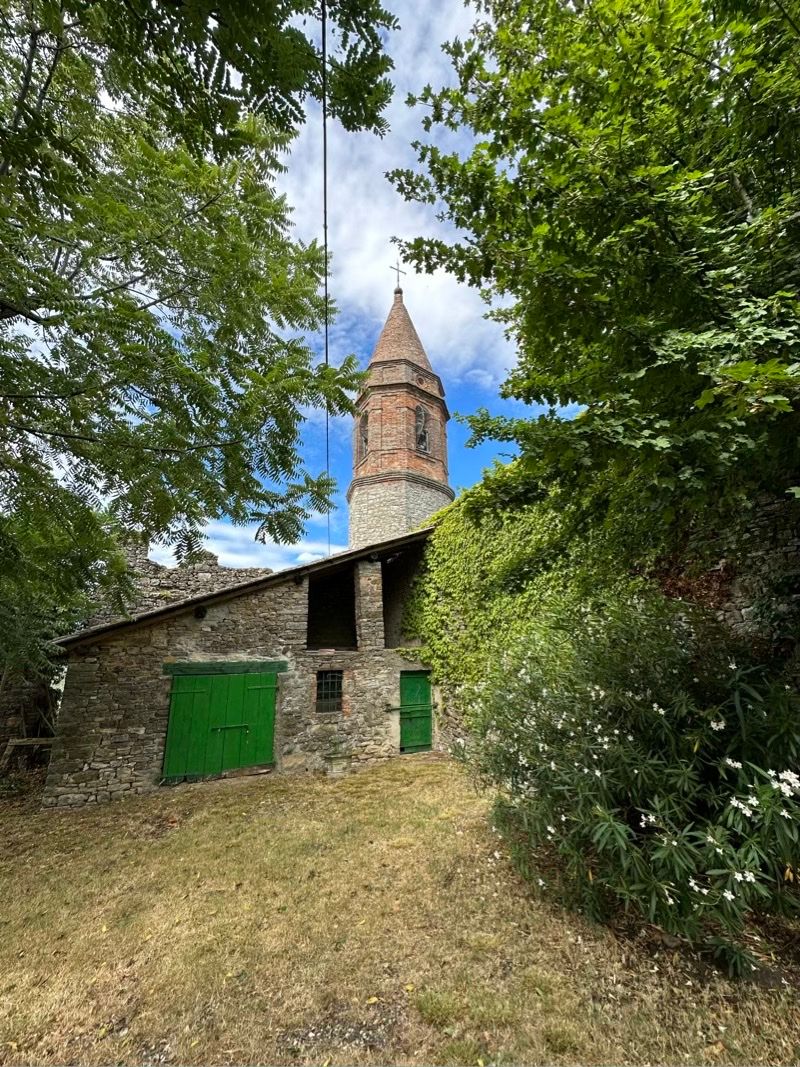
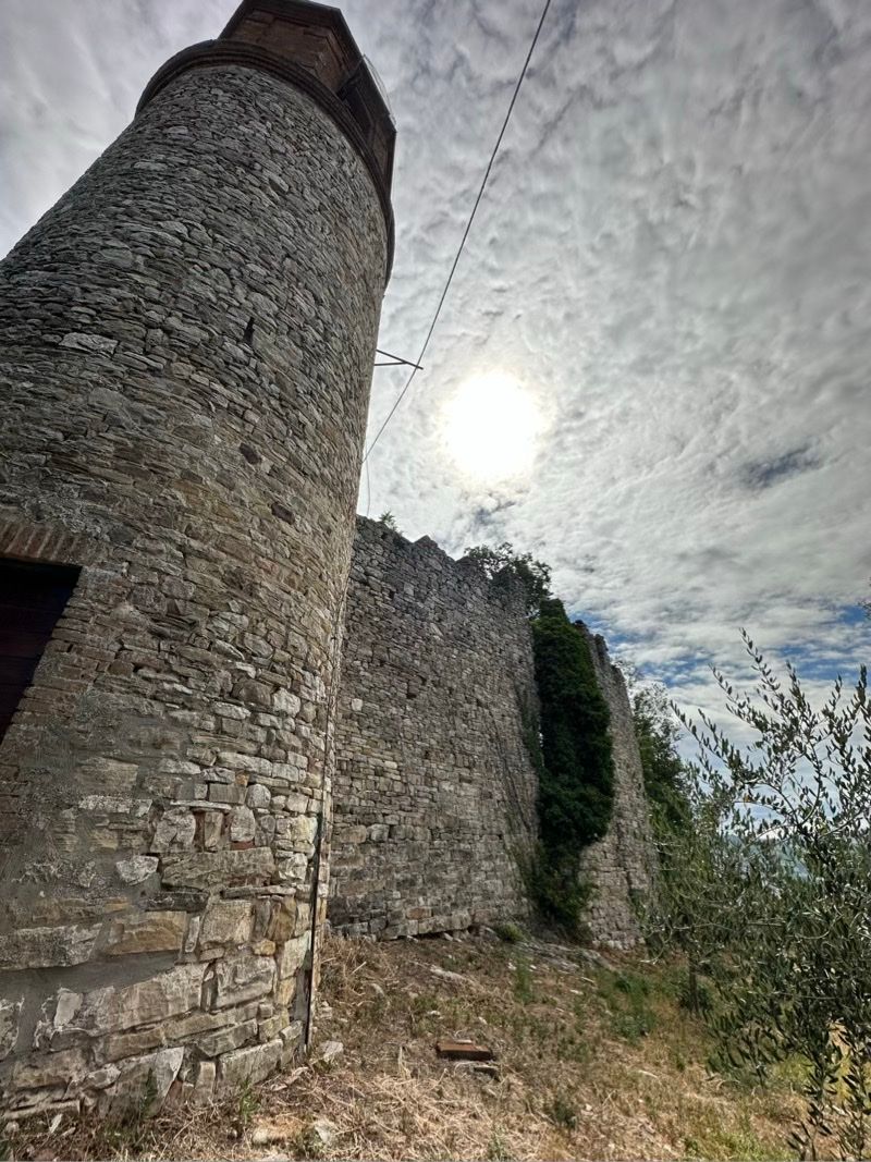
I have ridden past the old castle at Montecanino many times, but never actually took the little detour up the hill to the castle itself. This was an old Roman farming town, which was later fortified due to some exciting history after the fall of the Roman Empire. It’s a ruin now: you can actually see daylight through the gaps in the walls. I didn’t want to get any closer to that bit!

In a classic "the street finds its own uses for things" moment, a hamlet has grown up in the ruins of the old castle, probably repurposing a bunch of the materials from the ruined walls.

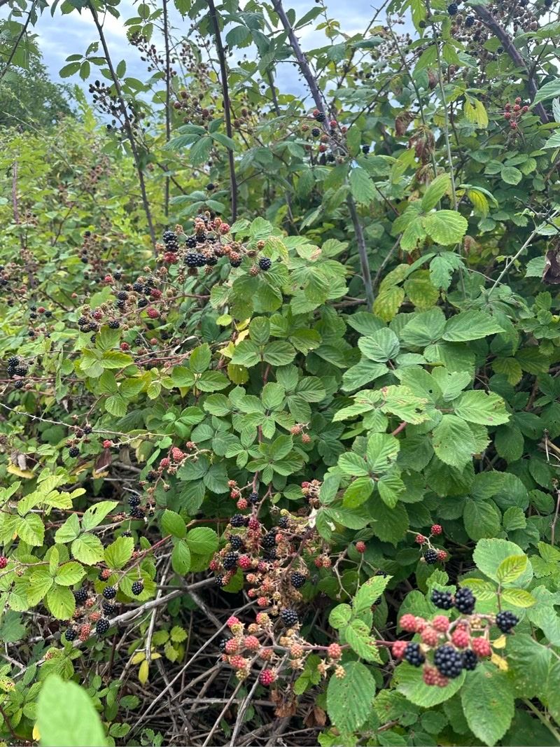
I didn’t try anything too strenuous cycling-wise, as I didn’t get going until later in the morning, and was mainly trying to wake myself up rather than get hardcore. I did stop for a mid-ride snack, though!

Way better than gels…

While looking up that pic, I did also find a cool new feature in Photos on iPadOS 17,1 which automatically offered to look up details of the plant in the picture.

I didn’t really need the help for blackberries, but this could be cool for obscure "what is that plant" moments. I do have an app on my phone called Seek which does this sort of thing, so sorry you got Sherlocked, I guess?


  1. I run the public betas on my iPad, but not on my iPhone. 

Disappearing In The Hills

I have a bunch of stuff I need to talk to people in the US about, but I had forgotten that today was MLK Day, so everything will have to wait one more day. I had an early call with a startup in the Middle East I am consulting with, but then found myself at 10am with an empty schedule for the day — so why not hop on the bike and disappear up into the hills until lunch time?

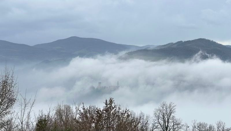
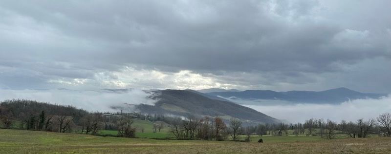
I had been hoping to climb out of the fog, but it was persistent until I got quite high up — and then I found that it was grey and overcast above the fog anyway. The views were very atmospheric, though, including this Brigadoon-like situation with a village appearing and disappearing amid the shifting billows.

Any day on the bike is a good day, though. I am in a bit of a holding pattern, waiting to get started on a number of projects, so a long(ish — 60km) ride is great for keeping myself from fretting.

I was happy that my legs were cooperating, too, since I was also out on the bike on Sunday, for a group ride on the other side of the Po. This is a part of the world I have never visited, even though it’s only a half-hour drive from me; I just pass through on the train or motorway en route to Milan. It’s a different vibe over there, but they have some fun trails, and it was a good day out — chilly, overcast, and muddy in spots, but at least the forecast rain stayed off.

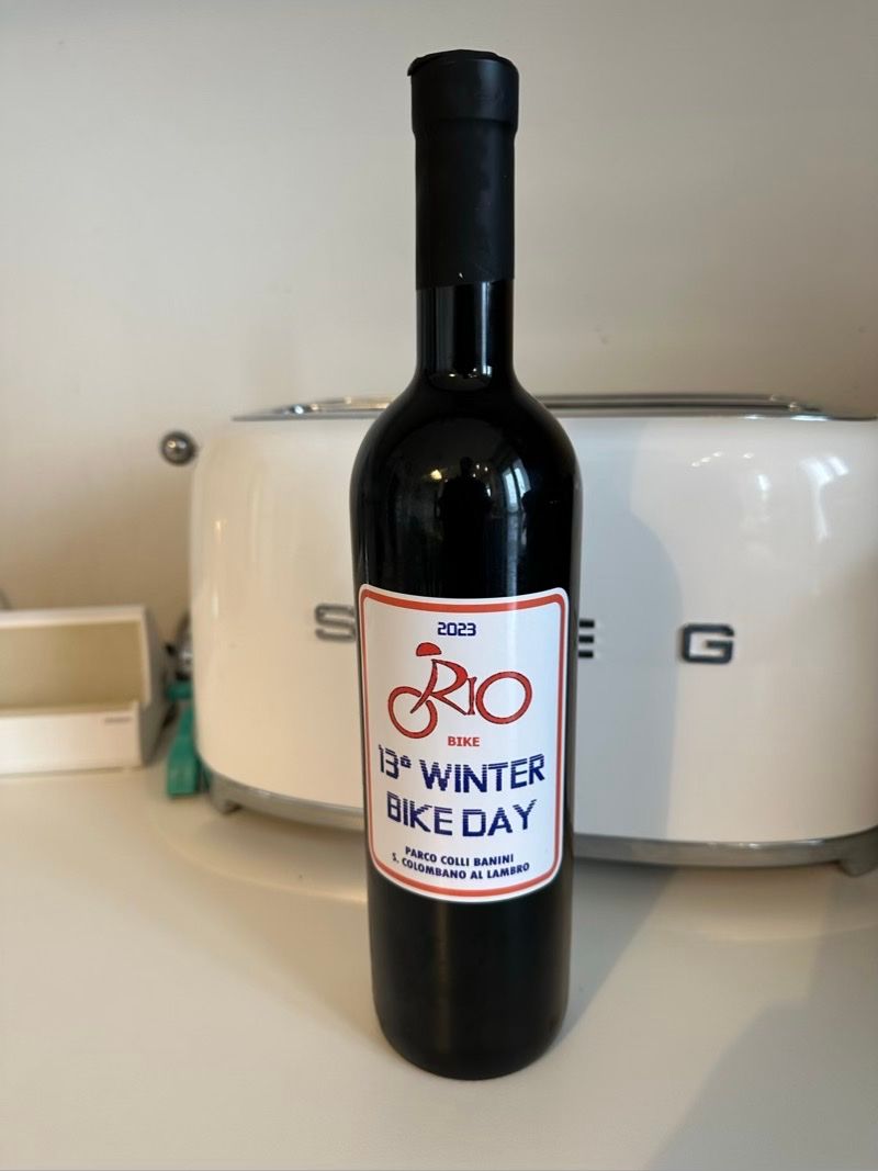
I especially liked the souvenir for the day — way better than yet another T-shirt!

There are no photos up on the event page yet, and being in a group, I didn’t want to stop to take pictures — but at least I have this wine bottle to remind me…

Pilgrimage

Today’s ride was along part of the old pilgrim route from England through France to Rome, the Via Francigena. There is still a ferry crossing for the use of pilgrims at the Guado di Sigerico — and yes, Italian speakers will be jumping up and down at this point because "guado" means ford, but there is no ford there in modern times, just the ferry. Sigeric himself was an Archbishop of Canterbury who made the pilgrimage down to Rome for his investiture, and someone in his party documented the return leg.

More than a thousand years after Sigeric, it’s still quite common to meet pilgrims walking or cycling the route; it’s also part of the Europe-wide Eurovelo cycling network, as route EV5, appropriately enough named Via Romea Francigena. Sensible pilgrims however avoid setting out at the fag-end of the year, with only single-digit temperatures and overcast skies to look forward to, so today I had the road to myself.

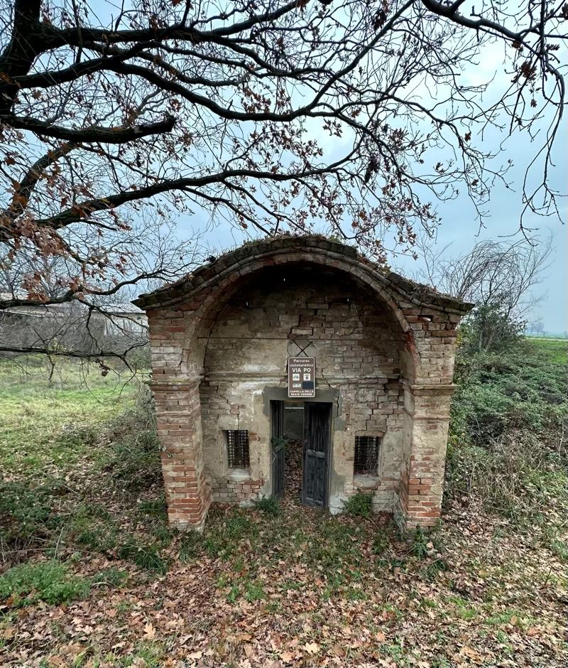
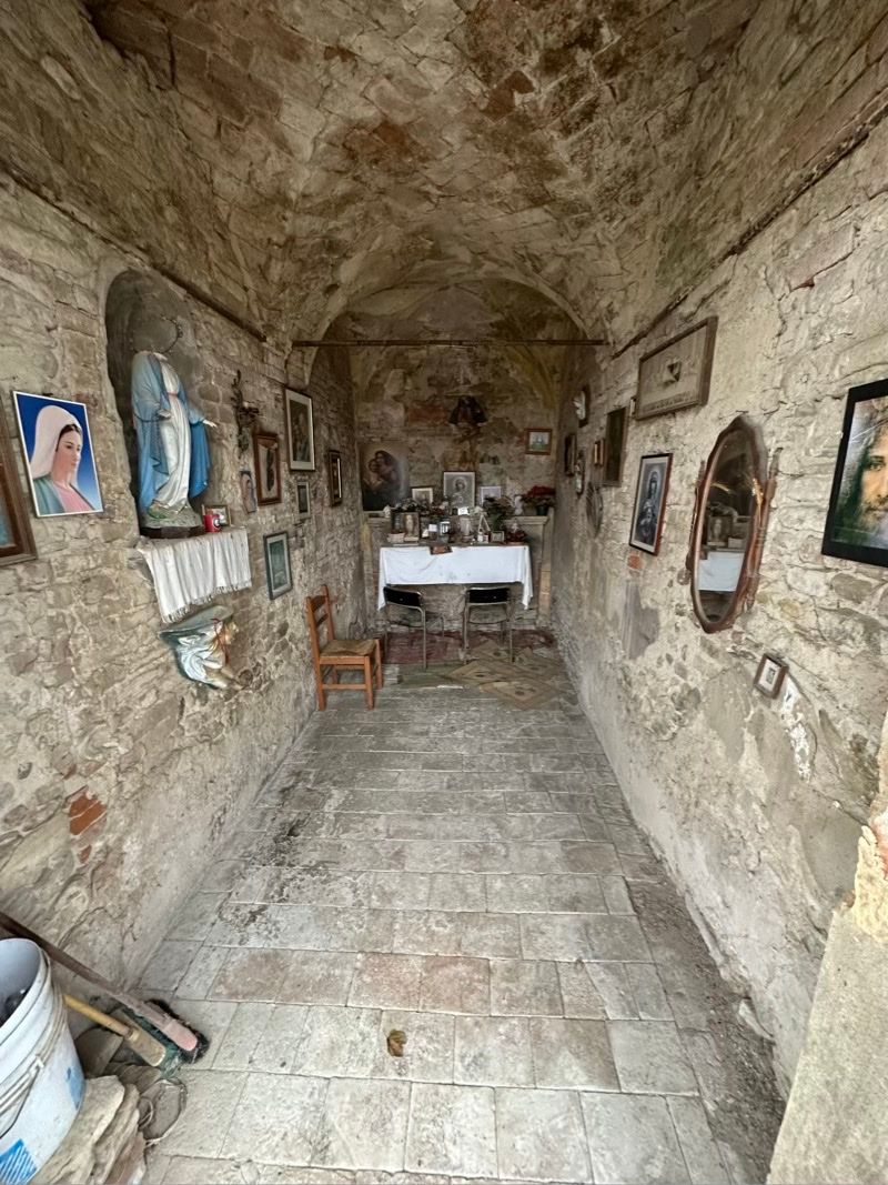
There are still a number of chapels along the route around here, although I suspect they were more for the benefit of farm-workers rather than pilgrims; those tend to stop in towns and cities, just as they always did. Since the advent of mechanisation in farming, most of these field-side chapels are in poor repair. There are no longer armies of farm workers to gather for celebrations in the fields, just the odd tractor — and not even any of those at this time of year.

This particular chapel looks structurally sound from a distance, but as you approach the door, you realise that there is quite a lot of light making its way inside — more than those tiny grated windows could explain.

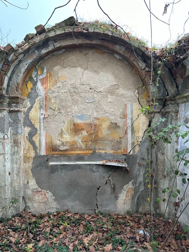
Sure enough, the roof fell in at some point. On the plus side, this means we can see the remains of the interior frescos a little better.

This is not the only lonely chapel I found today. Not needing the ferry across the Po, I left the pilgrim route at the mouth of the Tidone river and joined the Sentiero del Tidone, which runs along the banks of the eponymous river all the way from its source up in the Apennines down to its confluence into the Po, near the Guado di Sigerico.

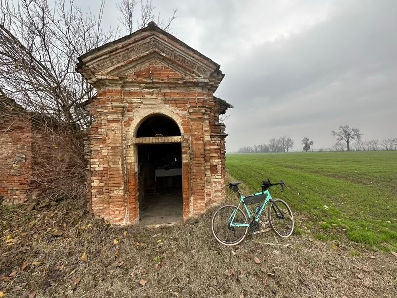
This ruined farm-house had a little chapel beside it that someone had gone to some effort to clean up and revive.

This site is a little closer to a main road and still-occupied farms and hamlets, which maybe gives it just enough passing traffic to hang on as a just-about going concern? Or maybe the maintenance of this half-ruined chapel is one person’s project, giving the old building one last lease on life.

Of course on a late-December day these ruins could not help but look sad and brooding. They did not make the same melancholy impression on me when I last came through here in September, with a background that was green, growing, and sunlit, rather than muddy ploughed fields under lowering clouds.

Anyway, I got my miles in, and some thoughts out of my head, so I’m happy with that. Any ride is a good ride!

Retracing My Steps

Another ride report post! This time, I decided on the spur of the moment to try a route I hadn't ridden before. It turned out to be a wee bit longer than I had really allowed for, which made me slightly late for family Sunday lunch — oops. I had also forgotten to charge my Apple Watch, so this ride went unrecorded, but I'm pretty sure the distance was around 80km, so not bad. The highest point was around 550m, but there was a fair bit of up and down, so the total vert would be quite a bit more.

Two of the things that make me happiest are bicycles and mountains, though, so riding up into the mountains like this does me an enormous amount of good. Here are some of the highlights of Sunday's ride.

I had only just left the tarmac when I saw three deer bouncing through the wispy fog that was still drifting across the ploughed fields. They moved fast enough that by the time I had stopped and got my phone out, I needed the 3x zoom — and one of the deer got away entirely. For such an extreme shot from a phone camera, I'm not unhappy with the results.

I also love that the scenery looks pretty wild in this framing, but actually it's still pretty close to a bunch of warehouses and factories, a true liminal space. The early part of this route is stitched together from tracks between fields to avoid busy roads, but it's still pretty close to industrial areas.
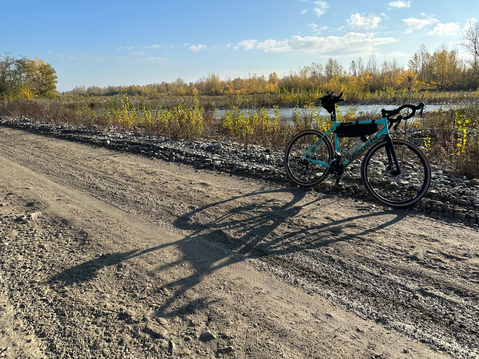
A little further along, and with the sun burning off the last vestiges of the mist, I stopped again because I liked the view of the river rippling across the stones. After this stop, though, I hit some pretty technical riding and had to concentrate on where I was putting my wheels. Some rain has finally arrived after the long drought, and then motorbikes (ugh) had come through, so all the mud was churned up into mire.

On my mountain bike I'd probably have been fine, but the Bianchi has some intermediate gravel tyres that are pretty smooth in the centre and with only a little bit of tread on the sides, as well as being narrower than MTB tyres. This is the sort of terrain where I'm glad to have proper pedals that I can unclip from and ride along with my feet free just in case I lose my balance and need to put a foot down in a hurry. Anyway, I got through without too much trouble, despite a lot of slipping and sliding. I did have to stop to clear out the plug of mud between rear wheel and frame once I got out of the woods, and then I walked the bike along the edge of one field that had been ploughed right to the river's edge, not leaving any smooth terrain to ride on.
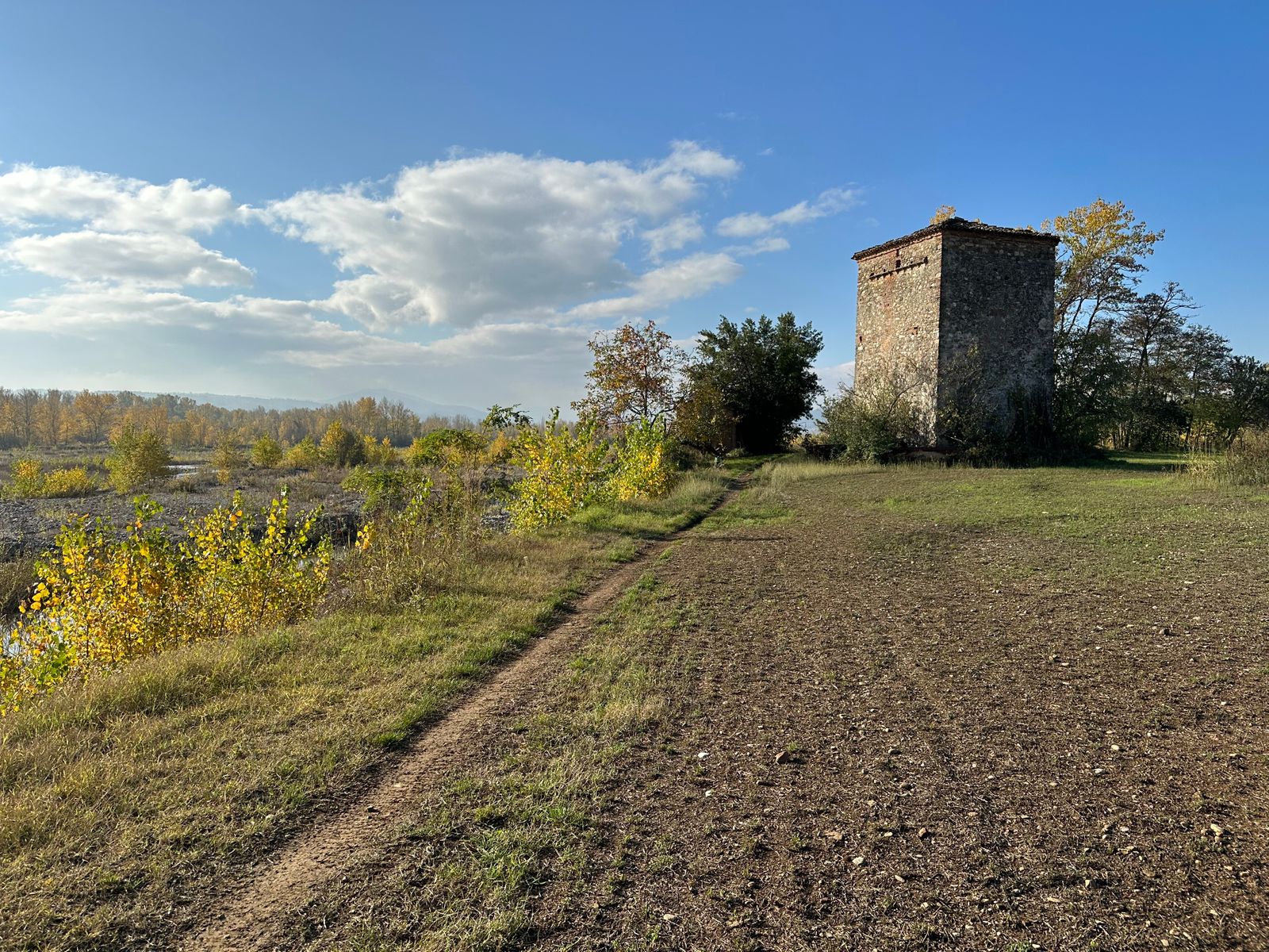
Nothing much to say about this tower, I just always like the look of it. This is also where the trail finally starts to climb out of the plain.
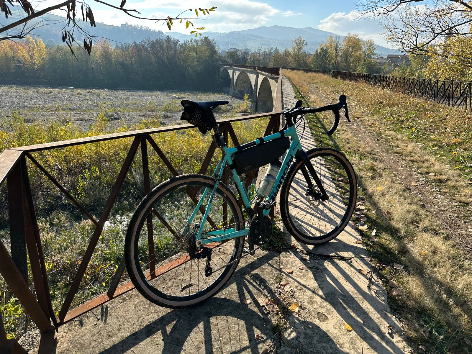
This is an old railway bridge, and because the road bridge is just upstream, it's reserved for walking and riding. It's not at all signposted, either, so you have to know it's there; I rarely see anyone else on it.

One of the reasons I ride a gravel bike is so that I can spend as little time as possible sharing the road with cars. It's tough to avoid that when it comes to river crossings, though! One newer bridge around here has a cycle path slung underneath it, and one of the busier bridges carved out a cycle path in a redesign, but this one is the best of all.
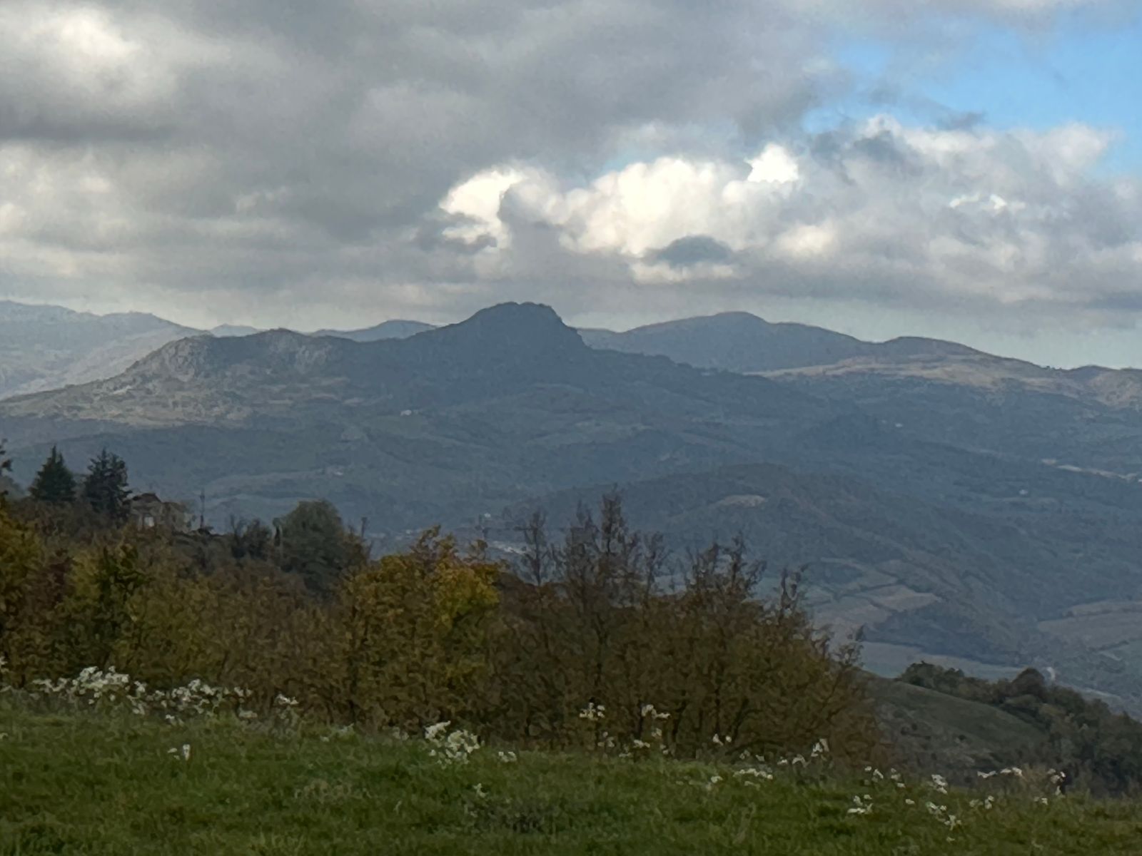
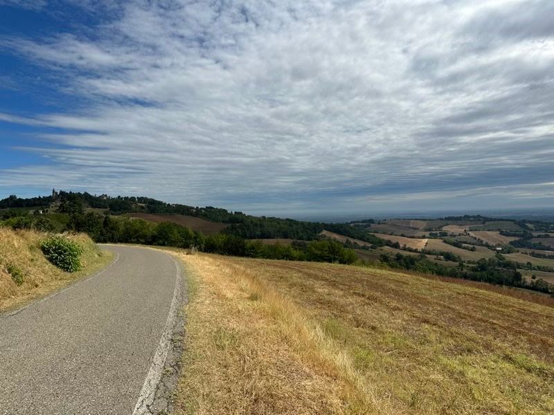
After that I rode properly up into the hills, climbing up out of the Nure valley and over the watershed down into the Trebbia valley before heading home. Unfortunately the day clouded over a bit too, so although I did stop to take a few more shots, they aren't nearly so scenic. I did want to share this one, though, because that rocky outcrop in the middle distance already featured in a past ride report.
Sights From A Bike Ride

One of the positive aspects I often cite when talking up the place where I live is that I can be in fields in ten minutes' ride from my front door in the old town — as in, my windows look out onto the old city walls.1

Once out in the fields, though, you never know what you might find. Here are some scenes from my latest ride.

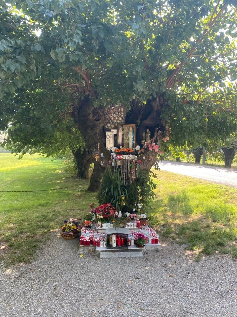
Roadside shrine to the Madonna della Notte, complete with offerings and ex-voto (thanks for successful prayers).
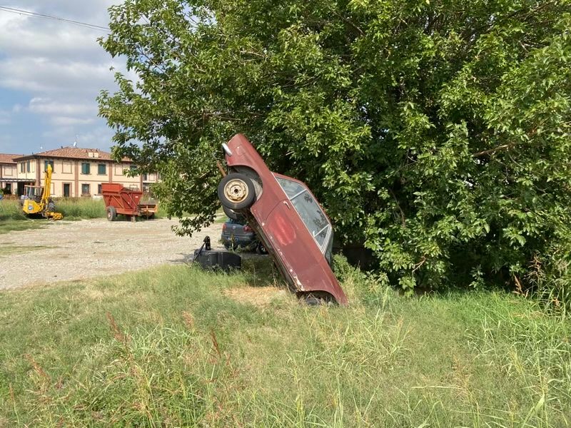
Not sure what's up with this old Lancia planted in a farm yard, but it looks cool!
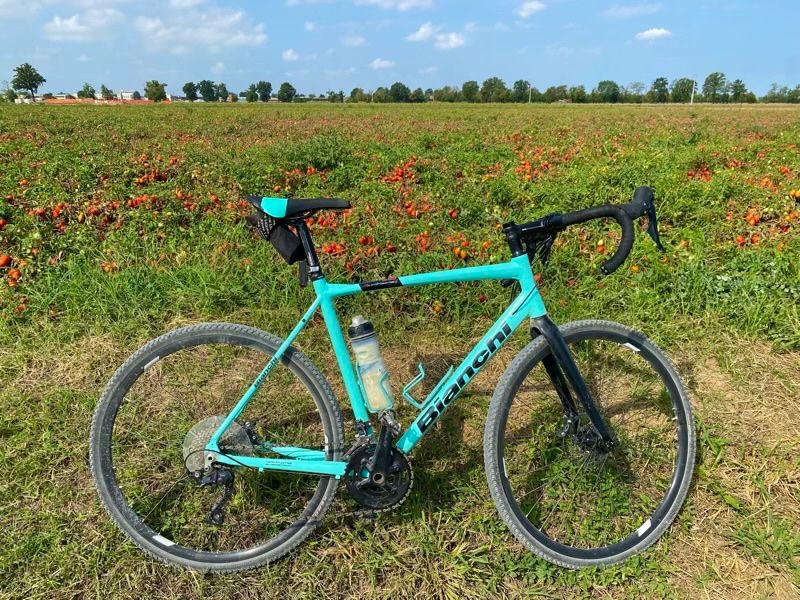
Here I just liked the contrast between the red tomatoes waiting for the harvest and the teal frame of my Bianchi.
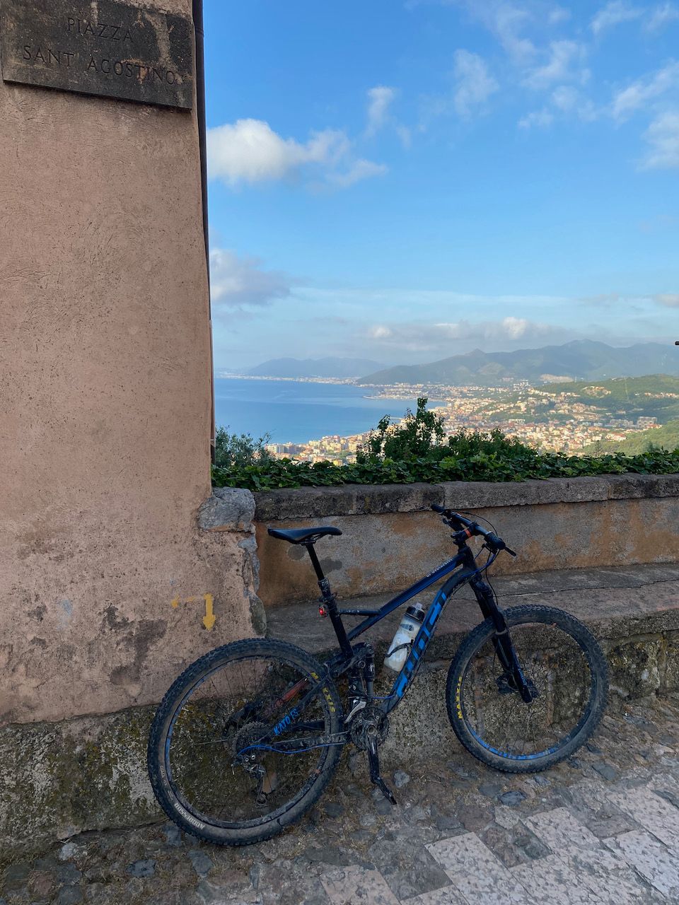
Bike rides are so great for getting out of my head, whether it’s a technical piece of single-track on my mountain bike where I have to concentrate so hard I can’t think of anything else, or a ride like this where I’m bowling along the flat with a podcast in my (bone-conduction) headphones. The trick is staying off main roads as much as possible — hence the gravel bike.


  1. Which are actually the newest city walls, dating from the sixteenth century CE, post-dating various earlier medieval and Roman walls of which only traces remain. These Renaissance walls were later turned into a linear park (pictures) known as the "Facsal", a distortion of London's famous Vauxhall gardens, among the first and best-known pleasure gardens in nineteenth-century Europe. In more modern times, the Facsal was part of the street circuit for the 1947 Grand Prix of Piacenza, famously the first race entered by a Ferrari car — although not the site of the Scuderia's first win. 

Long Way Up, Short Way Down

Here are some more pictures from my adventures on the trails of Finale Ligure.

This is my faithful steed in the square of Borgio Verezzi. Don't be fooled by the Wikipedia entry claiming elevation of only ten metres above sea level; that measurement must be from the railway station, down at the bottom of the hill. There is a lot more info on the Italian-language wikipedia page.
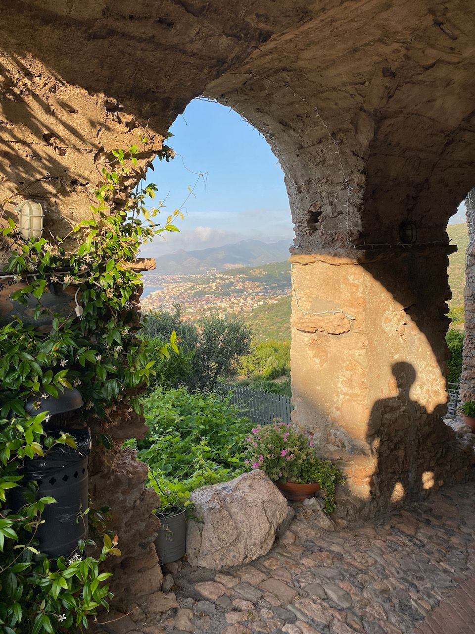
The actual town of Borgio is a medieval hilltop knot of houses, of a type that is popular all along this coast: far enough up to be out of easy reach for pirates or other attackers, with a confusing inside-outside architecture designed to disorient them if they did decide to invest their time in climbing all the way up here.
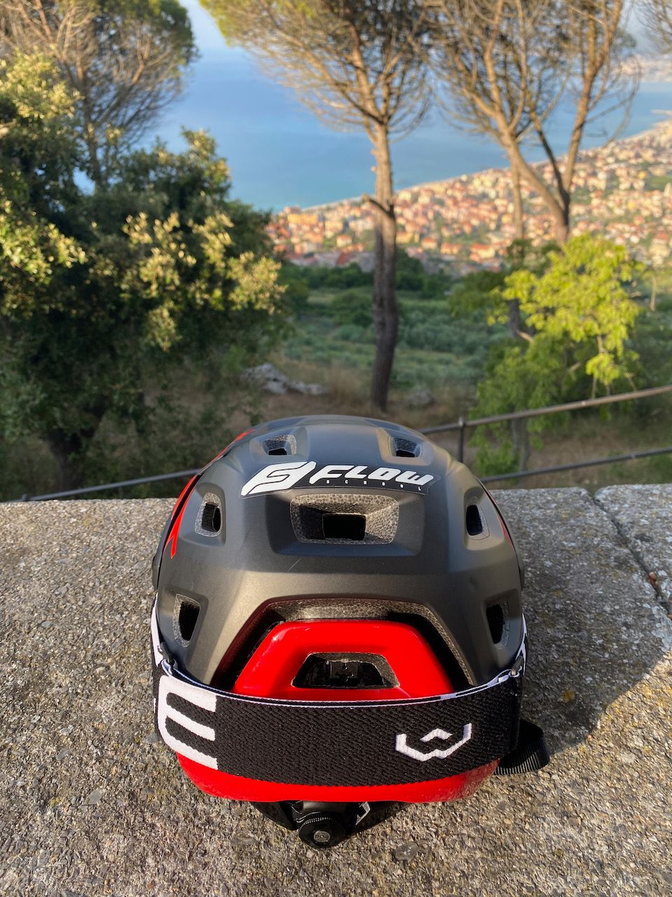
After a bit more climbing, we finally reach the church of San Martino, a full 271 metres from sea level, where I started pedalling. It's best to do this climb early in the day!
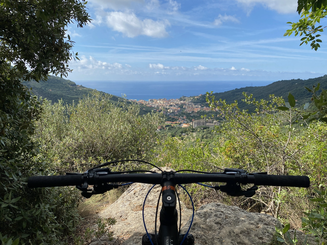
From here there are any number of trails across the top of the rocky spur known locally as the Caprazoppa ("the lame goat"). The most famous is the Bondi, named for a local hero who still operates a bike shop in the centre of Finalborgo. This, plus the more technical X-Men trail, make up the drop back down to sea level, just in time to hit the bakery for warm focaccia fresh from the oven.

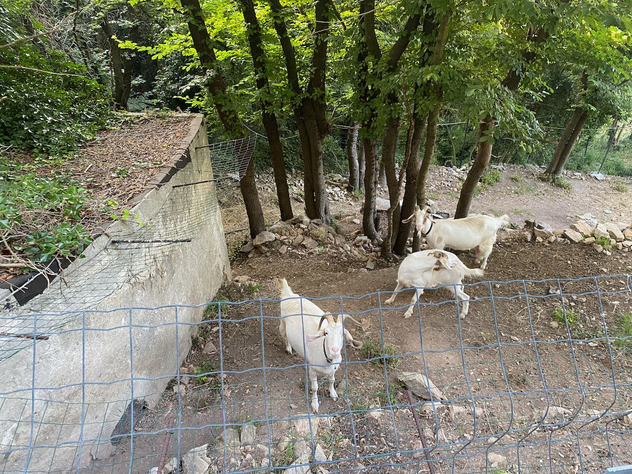
The locals are sometimes bemused by MTB antics.
A Long-Expected Holiday

Well, I’m back in Finale Ligure. In contrast to last year, this time around we were fairly sure we’d be able to come out here. A year and a half of no travel, plus a pretty stressful end to the kids’ school year, meant that I was looking forward to the trip much more than normal.

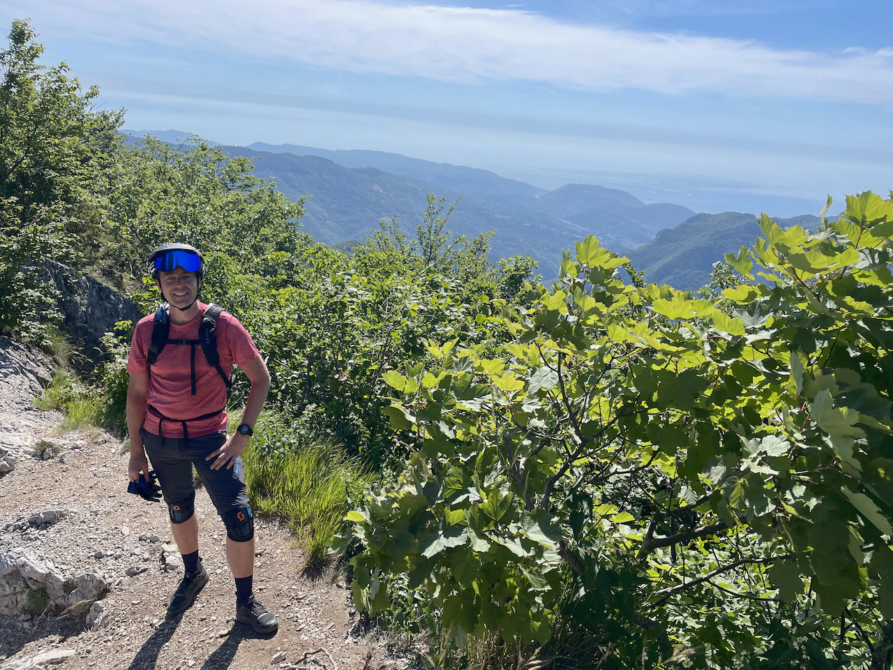
The views are spectacular…

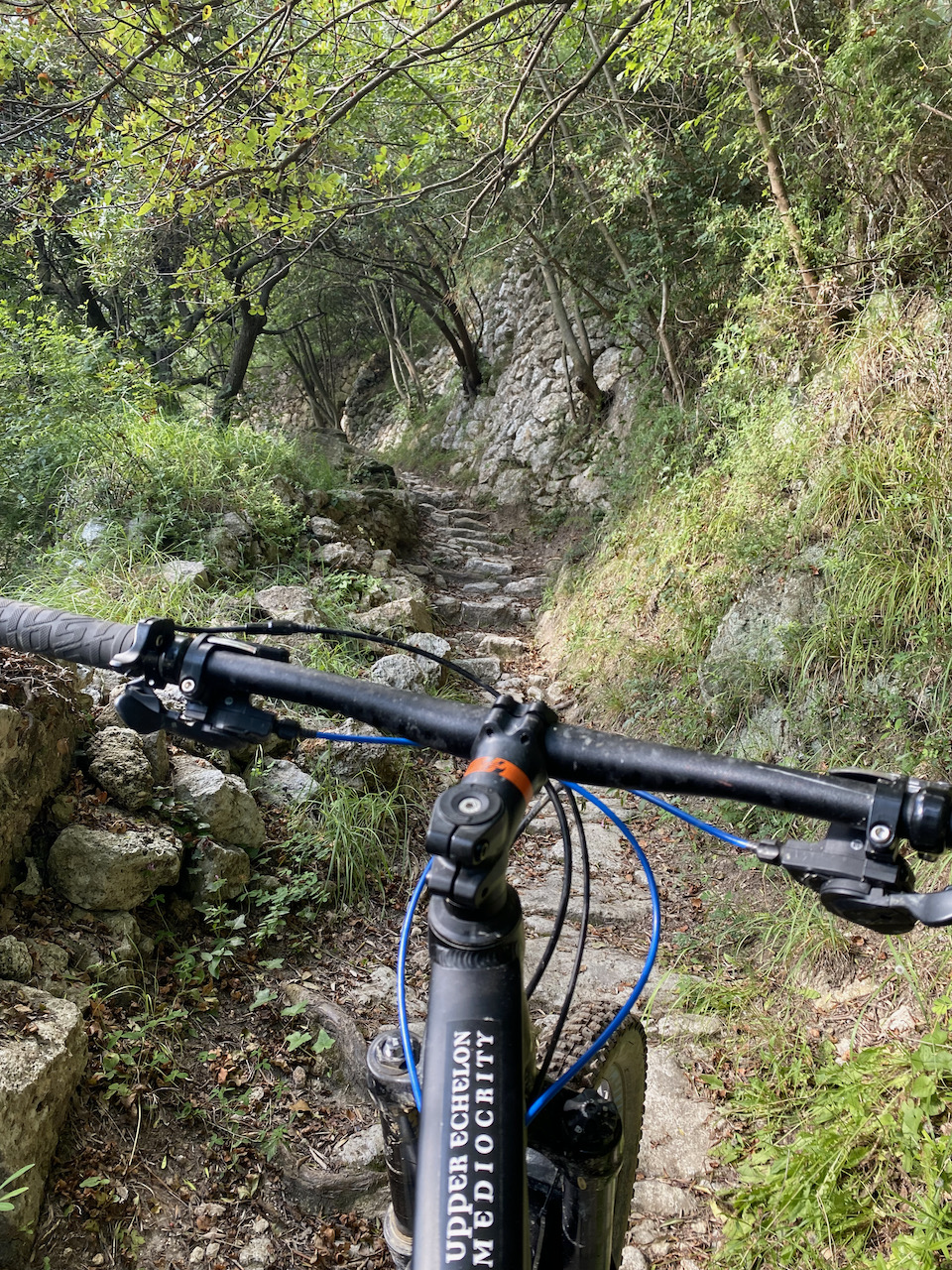
…but you earn them with some pretty brutal climbs. A few of those rock steps are fine to hop up, but pull after pull of them is something else. Of course they are much more fun to roll over coming downhill!

This year I was testing out a full-face helmet with removable chin guard. I didn’t need the chin guard’s protection (yet), although I did bonk a tree branch pretty hard with the top of my head — but a normal helmet would have been fine there too.

Top of the climb, ready to head down?

This was a nice flowing bit of trail, but the builders around here have a great love for switchbacks where there is exactly one correct line, and if you put a wheel wrong… well, if you’re lucky, there’s a tree to catch you, and if you’re not, it’s a looong way down!

My guide for Sunday, Martino (highly recommended, incidentally) was one of the local trail builders, though, and was able to show me the right line through some of the more technical areas.

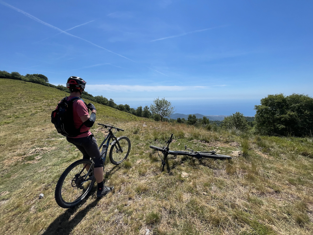
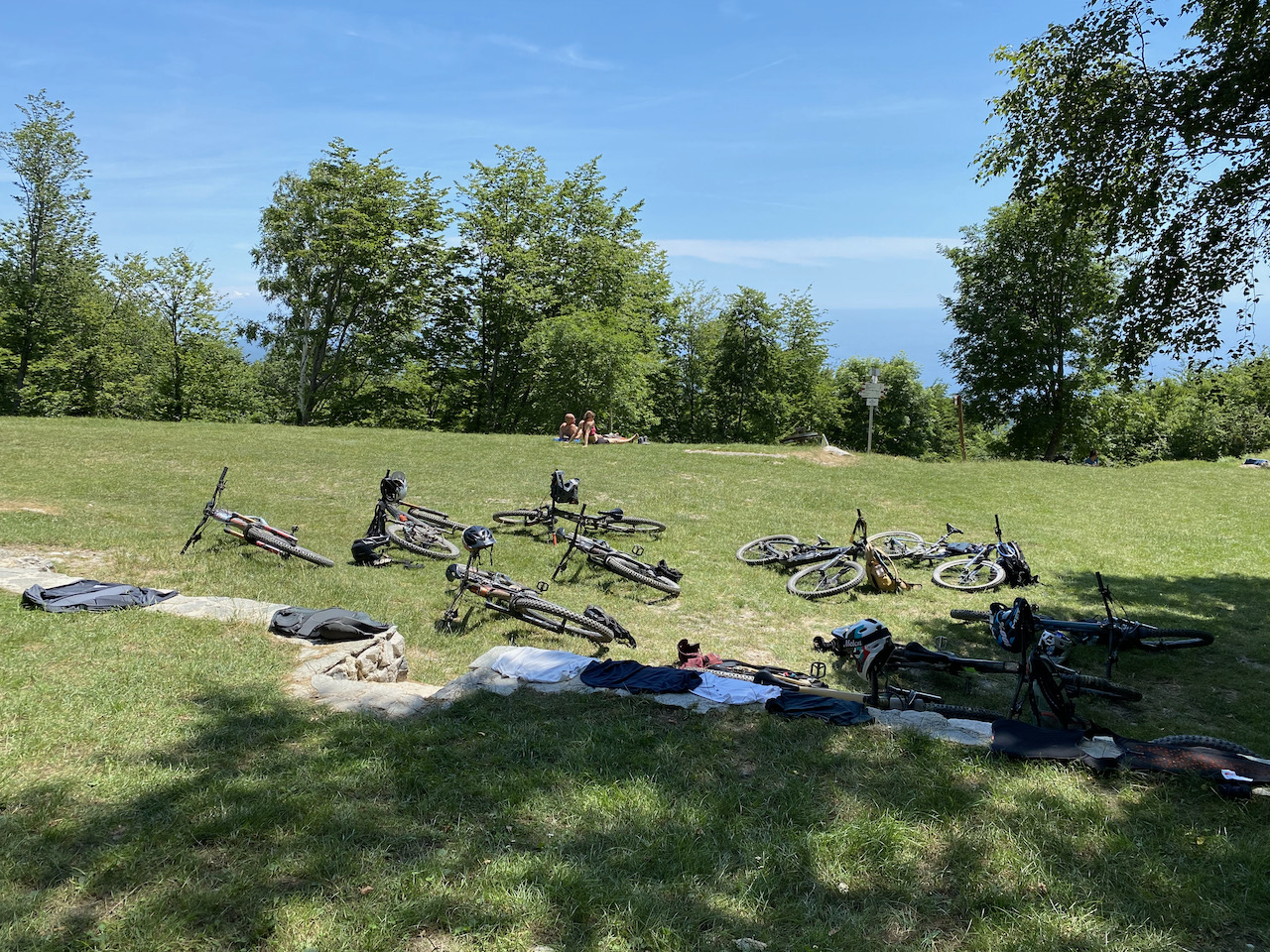
Bikers’ repose. This is not the sort of scene most people have in mind when they think of Liguria! Pian delle Bosse is a proper Alpine-style mountain refuge, white with red shutters, the whole works — and on a summer’s day, the lawn is just covered with dusty mountain bikes while their tired riders refuel.

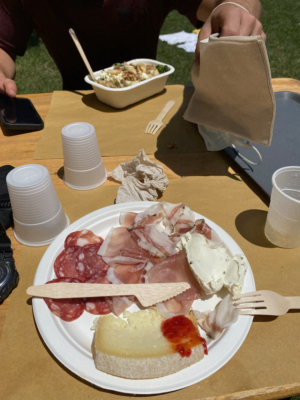
Buon appetito!

Easy Like A Sunday Morning

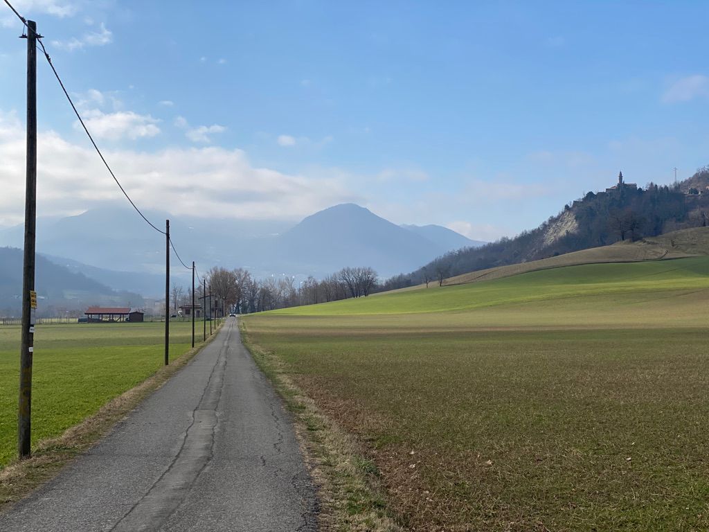
This Sunday morning was not a time for epic rides, not least because it's the day after a good friend's wedding… I took a 90-minute loop from my front door, up into the foothills and back down. This landscape has not changed much since Roman times, and probably before; people were tilling the land and making wine around here before the Romans showed up, at least back into the Bronze Age.

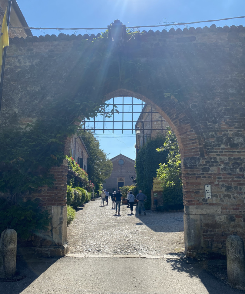
This is the gate of Rivalta, on the bank of the river Trebbia.

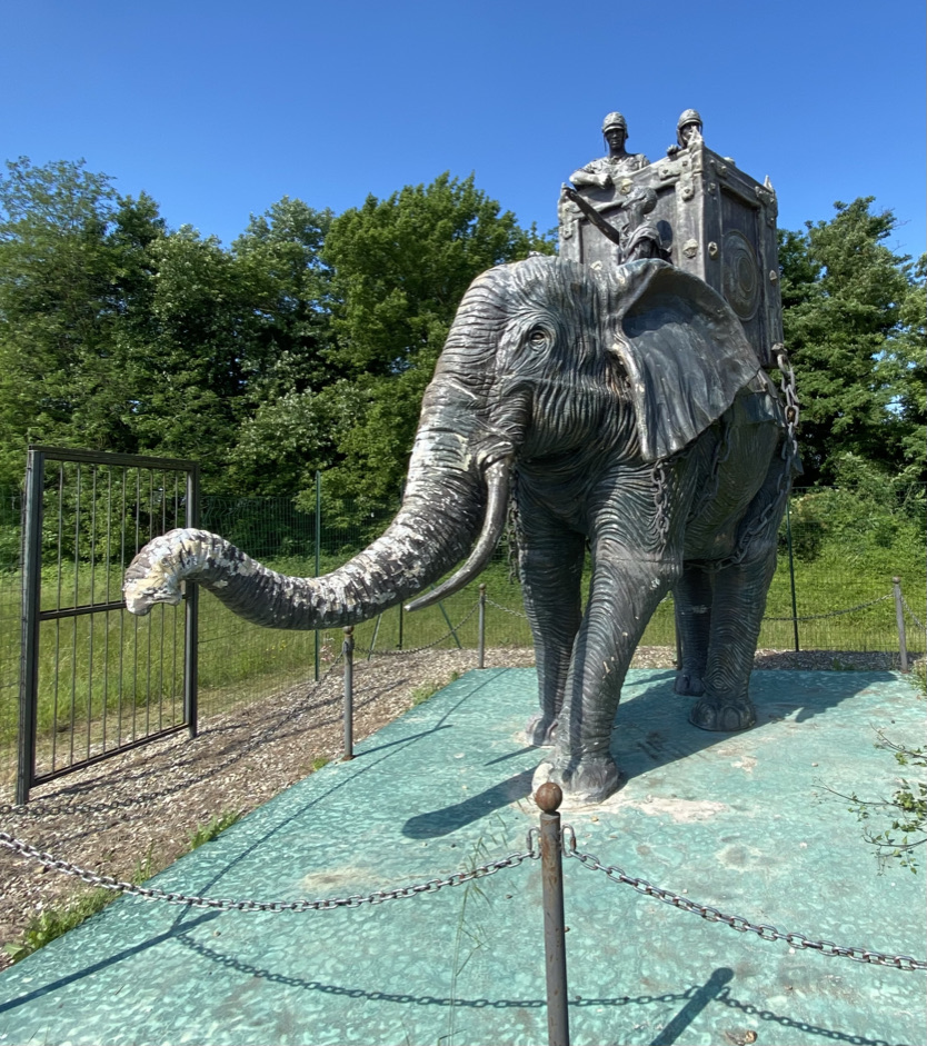
If the name of the river Trebbia is ringing a bell, you may be thinking of your classical history. This was the site of a major battle of the Second Punic War, in which Hannibal defeated the Romans. The battle is commemorated today by a statue of one of Hannibal's war elephants.

People never believe me when I tell them of the wildlife I encounter on my rides: rabbits, deer… elephants?

Midweek Ride Through The Shire

I took a mental health day off and rode a (metric) century up into the hills. Unfortunately the more spectacular scenery was a) tiring to ride, so I didn't want to stop, and b) on a main road, so there wasn't always a good place to stop even if I had wanted to. These shots are from the earlier, flatter part of the ride.

Riding up the bank of the river Nure (on the left behind the trees)

Crossing the old railway bridge at Ponte dell'Olio

Old lime kilns at Ponte dell'Olio

Who Needs Alps Anyway

Booked a day off work today because 2021 has done a number on me — and I really lucked out, with a lovely warm day for a 100km ride up into the hills. My legs are hurting now, but it was oh so worth it!

I also got to use my new Hestra Nimbus Split Mitts for the first time. These things are not gloves, but over-gloves; you wear them over your normal cycling gloves. They are completely unpadded and pretty unstructured, but that's the point; they are only there to protect your hands from the elements. The idea is that, on a ride like today's that spans from the low single-digits (Celsius) to the mid-high-teens, you can start off with the mitts, but then as you and the atmosphere warm up, you can peel them off and stuff them in a jersey pocket, while still having your usual gel-padded cycling gloves that you were wearing underneath.

I jumped on these mitts based on a recommendation from The Cycling Independent because I have hot hands, so there's a gap between the sort of weather where I want my heaviest gloves, that could masquerade as ski gloves in a pinch — basically sub-freezing — and when I'm comfortable in just plain finger-gloves without quilting on the backs. It felt a bit ridiculous to buy a whole other pair of gloves just for those in-the-middle days, plus I'd never know which gloves to wear and probably get it wrong all the time, so this combo of glove and over-glove works perfectly.

At least so far, they definitely work as advertised; they kept my hands warm as I pedalled through the fog, and then I took them off when I stopped for this pic, just before the serious climbing started. This ride spanned from 65m to over 900m, and it wasn't just one climb, either; there was plenty of up & down, as my legs will attest.